The spectacular Exmoor National Park spans across Somerset and Devon in the South-West region of England. It’s full of wooded valleys and patchwork rolling hills that during the summer months are covered with a blanket of charming purple heather. It’s a beautiful place to enjoy being out in nature, and, if you’re lucky, you might even spot a native bread of gorgeous wild ponies.
At 519 meters above sea level, Dunkery Beacon is the highest point in all of Exmoor & Somerset!
So lace up your walking boots and conquer this gentle hike through pretty moorland and ancient Bronze Age burial sites.
In this article...
Wheres the carpark for Dunkery Beacon?
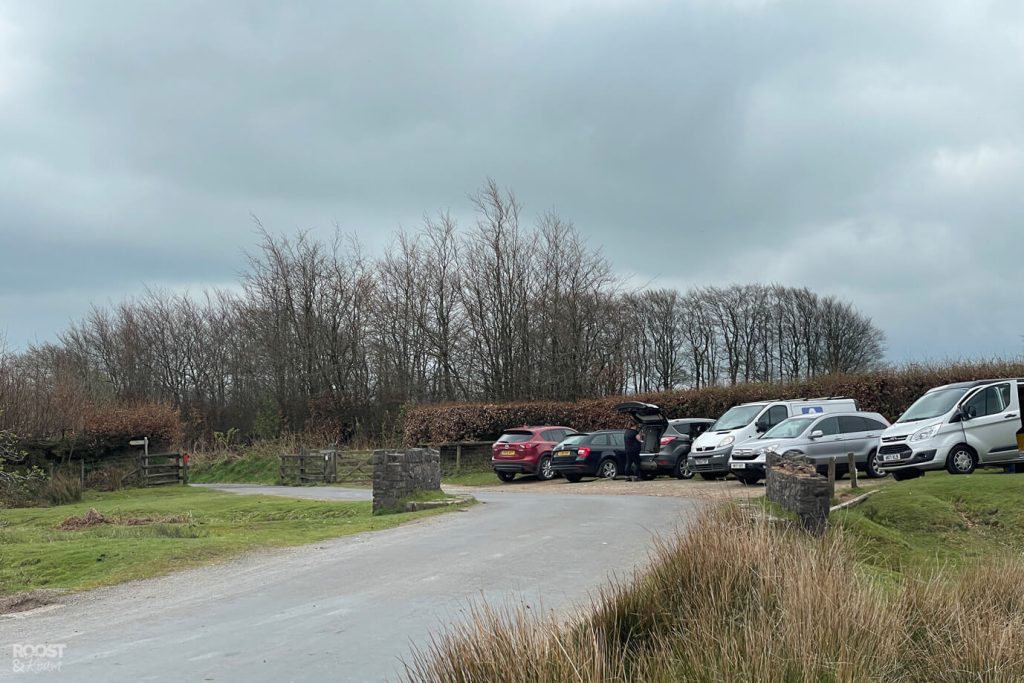
Dunkery Beacon is well signposted and you should spot the carpark on your right hand side as you edge closer to the base of the beacon. The small carpark only has enough room for maybe 8 cars, less if people have parked their vehicles inconsiderately.
Don’t be one of those people who hog two spaces. Please.
If you enter ‘Dunkery Beacon carpark’ into your google maps it should direct you right to the spot. Or the post code TA24 7EE will get you near the carpark area.
There is also a small layby on the left (just before the main carpark) which will fit another 8 cars.
As Dunkery Beacon has limited availability, I suggest you aim to arrive early morning in order to secure a parking spot.
Are there any facilities?
There are no toilets or places to purchase food and drinks here. So come prepared, or stop at one of the nearby towns on your way here.
How high is Dunkery Beacon?
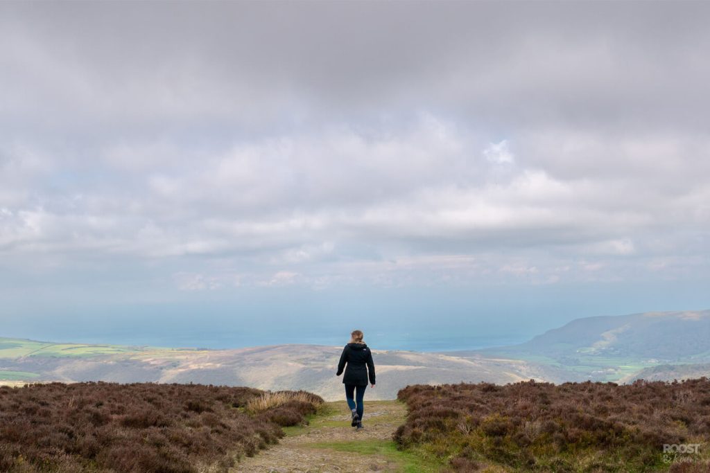
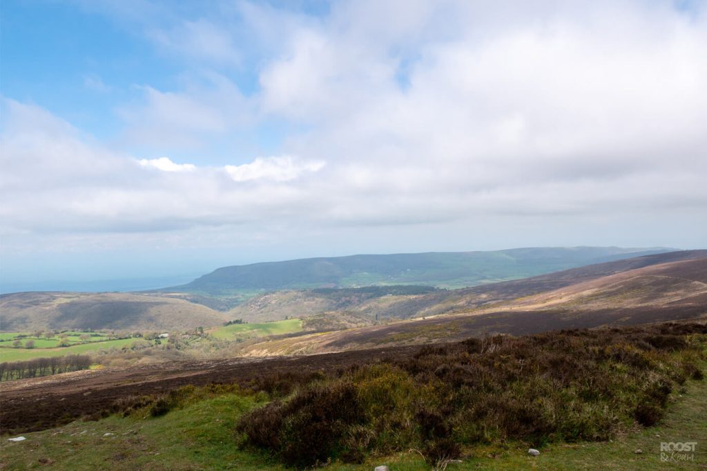
Dunkery Beacon is an impressive 519 meters above sea level, that’s 1705 feet. Not high enough to be classed as a mountain, but it offers exceptional 360 degree views, which on a clear day which span for miles.
Is it hard to walk up Dunkery Beacon?
The length of this walk will depend on which route you tackle. There are a few options which all vary in distance, so that will make an impact on how hard it is overall.
If you choose the most direct route up Dunkery hill, it’s only half a mile which will take roughly 20-30 minutes to reach the summit. Even quicker on your return, thanks to gravity.
There is some level of effort required as its an uphill walk. But the gentle gradient and mostly even path under foot helps to keep this a relatively easy route.
Because it’s short, it’s easy enough that children would be able to join in on this walk too.
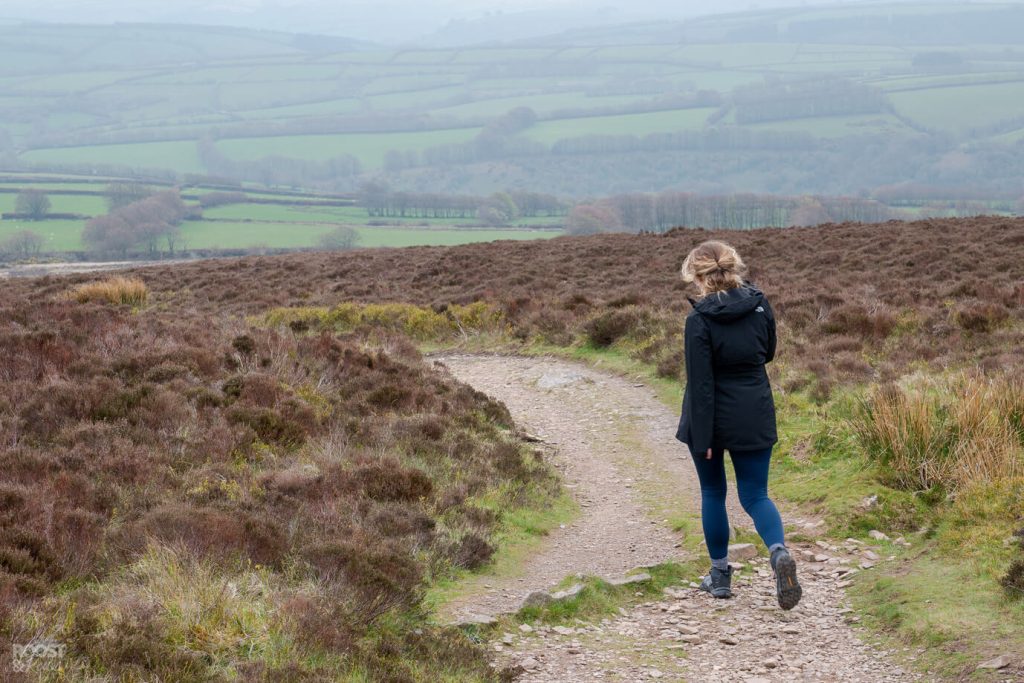
Where to start the walk up Dunkery Beacon
If you just want to reach the summit and enjoy the uninterrupted views over Exmoor in the shortest amount of time, then head this way.
Starting at the Dunkery Beacon Gate carpark. Head up the tarmac road, past the National Trust sign that’s made of stone. (you can turn off that way, but it’s longer)
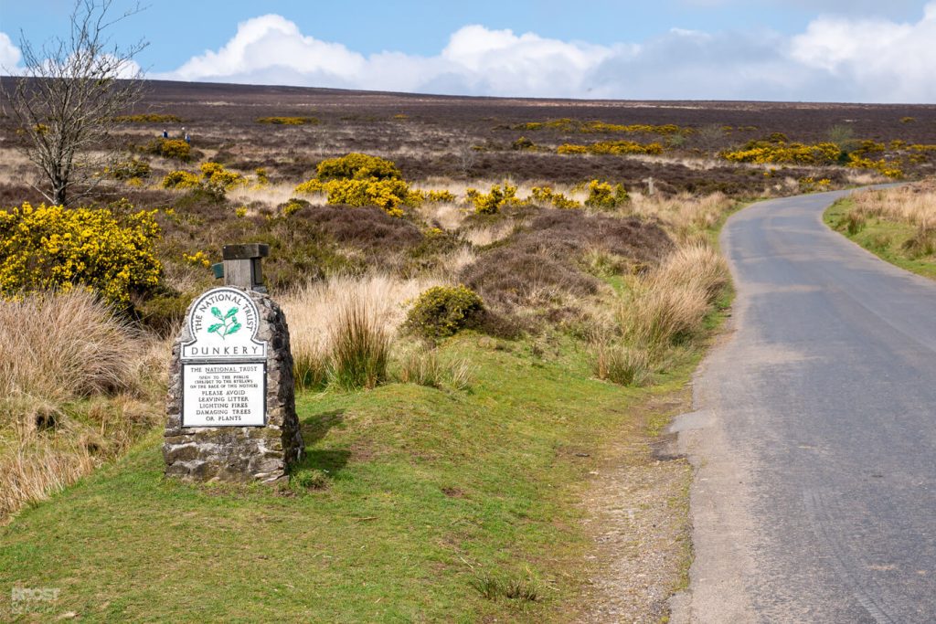
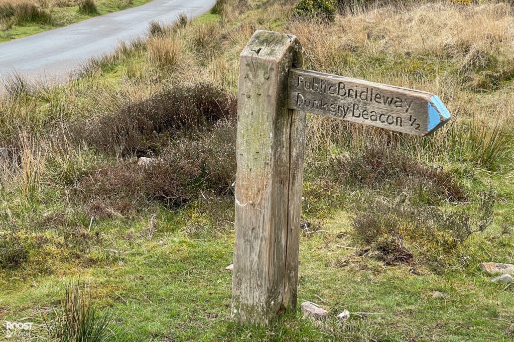
Instead, don’t turn off, continue walking along the main road until you find this little wooden sign.
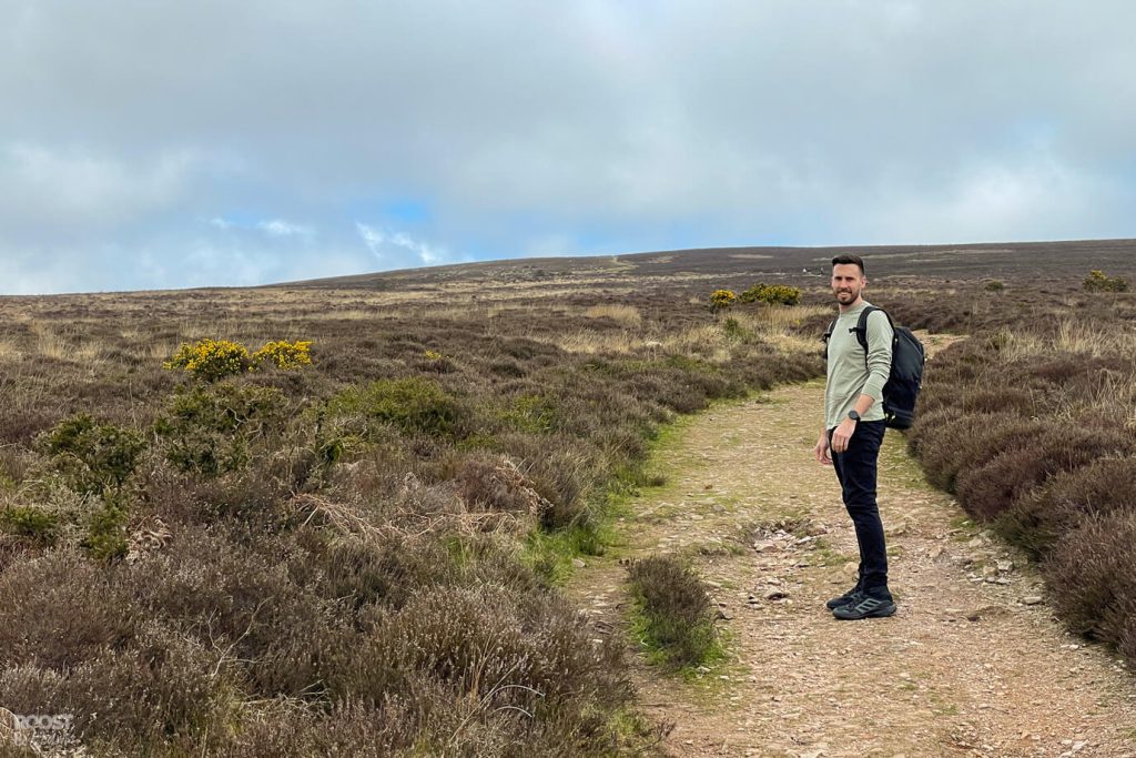
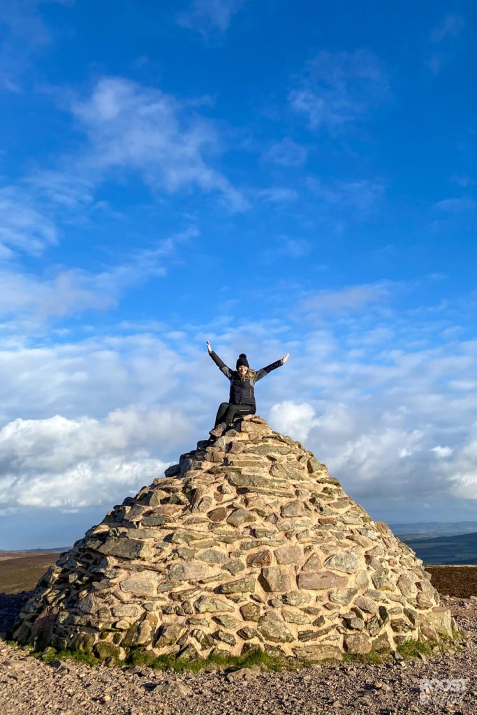
Follow the dusty path through the moorland until you reach the top of the hill. You’ll see the beehive shaped stone cairn In-front of you.
You made it!
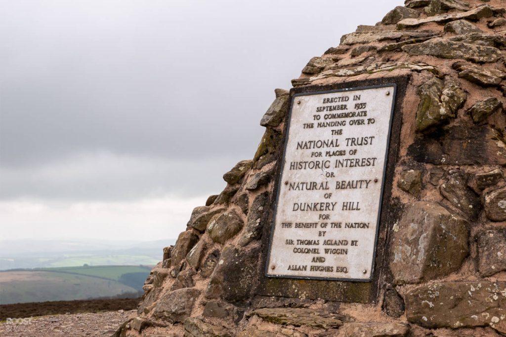
Climbing the stone Cairn at Dunkery Becaon
This is actually pretty tall, and it comes to a narrow footing at the top. If you do chose to scramble your way up it, take your time and be careful! You do not want to go and sprain your ankle. Sorry – the mum in me is coming out there.
If you’re jammy enough to time your visit with a clear day, then the views from this spot will seriously wow you. They’re utterly incredible.
You’ll be able to see all across Exmoor, Dartmoor and to the North you’ll even be able to spot Pen y Fan – the tallest mountain in South Wales. How impressive is that!

Places to stay near Dunkery Beacon
If you’re looking for somewhere nice to stay. Why not try the nearby quaint coastal village of Porlock. They have lots of charming cottages to rent, or if you’re looking for a larger town, head for Minehead.
If you enjoyed this post or found it helpful, and you’d like to show some love & support. You can now treat me to a cuppa on the link below, thanks so much if you do!